Skip to content

Flight Operations

Low Emissions

Being a single engine aircraft, the Lake Buccaneer uses considerable less fuel and thus emits considerable less CO2 than multi engine aircraft or helicopters.

High Flexibility

Being a manned aircraft, we operate in the public accessible airspace. We can operate from any land based airfield and do not need a marine supply vessel that would be necessary for drone operations of equivalent range. Being able to fly into our target area, we can gather information fast and react flexible on changes of the operating area and conditions.

High Safety

Although only certified for takeoffs in 0.3 m waves, the Lake can be landed in much higher seastates in case of an emergency – up to a meter wave height and can endure more than 3 meter wave height, once in the water. Enough for the crew to survive an emergency within the north sea.

A Real Eye in the Sky

The Lake Buccaneer has room and useful load not only for the equipment, but also for a task specialist and data processing units. The Data scientist on board can determine in situ the quality of the acquired data and decide if further approaches to specific points of interest are necessary.

The Lake Buccaneer

The Lake LA 4-200 was designed in the 1950s by David Thurston, a former Grumman engineer. It has been built over 1000 times between 1959 and 2003 in different varieties. It is built out of Aluminium that has been hardened and corrosion proofed. The LA-4-200 ist powered by a Lycoming IO-360 air-cooled four-cylinder direct-drive aircraft engine with fuel injection with 150 kW (200 hp) power output.

On board the aircraft we have a pilot, a task specialist, emergency gear, marine tools, sensing and data processing equipment. We have two bays for earth observation equipment in the wings

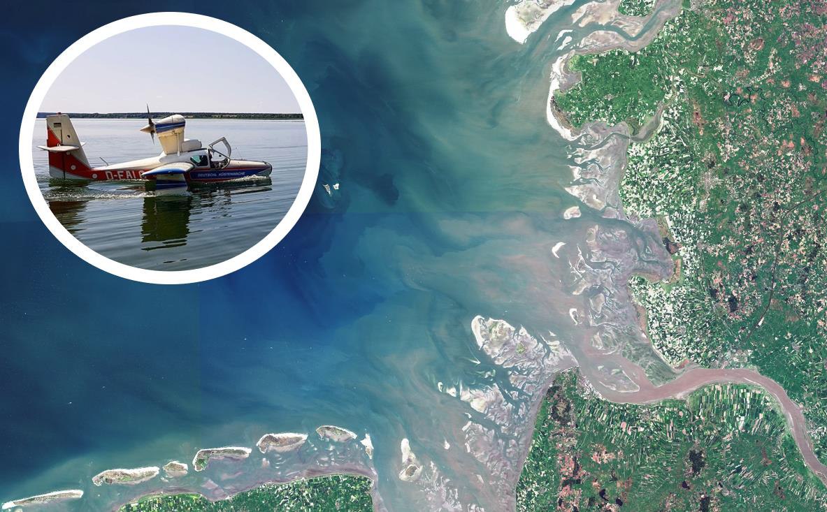
Aufwind´s Lake LA-200 D-EALG. The Airplane has previously flown for Deutsche Küstenwache e.V., a german NGO. They have been flying Oil Spill Surveillance from the mid-1980ies on for nearly 30 years. The NGO is still registered and could become active again with Aufwind's Cooperation. Picture Copyright: M. Brehmer

Previous Flight Operations

ESA AIR-SOS

ESA AIR.SOS
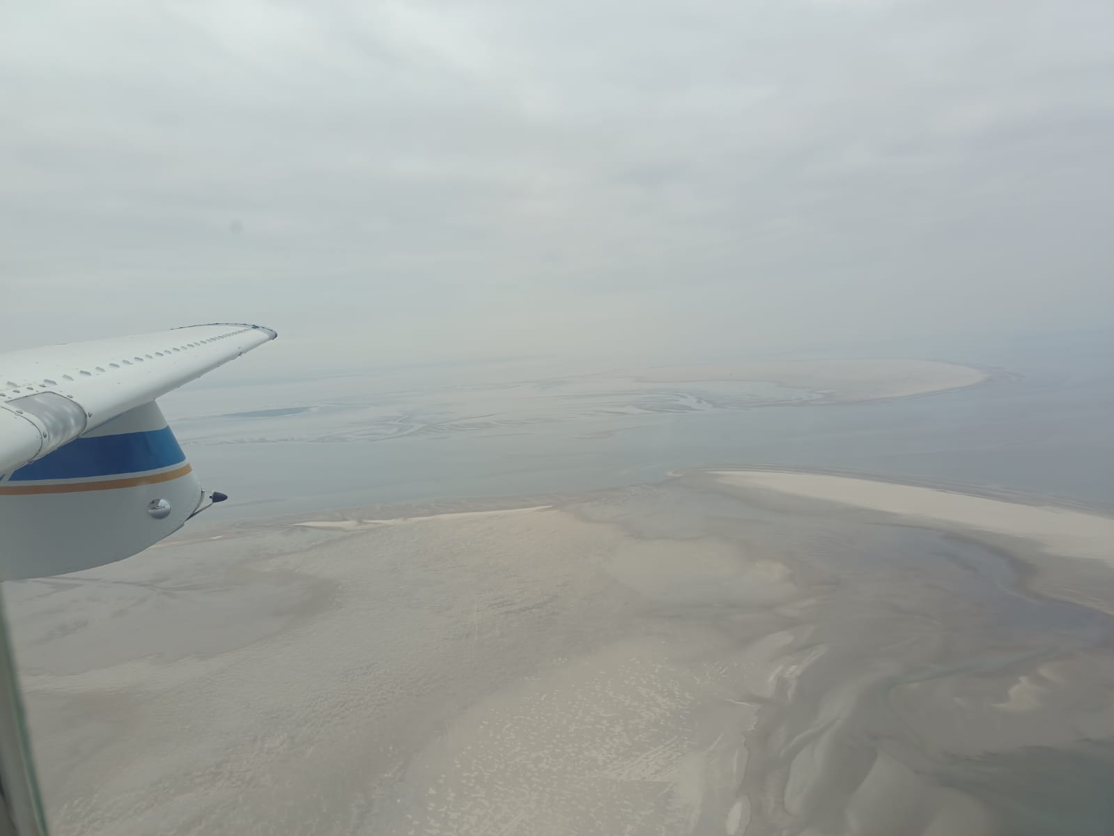
This project aimed to collect high-quality and high-resolution data on floating objects in coastal waters near the mouth of the river Elbe. It used a seaplane on clear and still (low wind) days to collect data at the same time as the Copernicus Sentinel-2 satellites collected data of the same location. In this way, the project assessed and validated the ability of Sentinel-2 and developed algorithms to monitor floating plastic marine litter from space.